choose from many possibilities
half day hikes
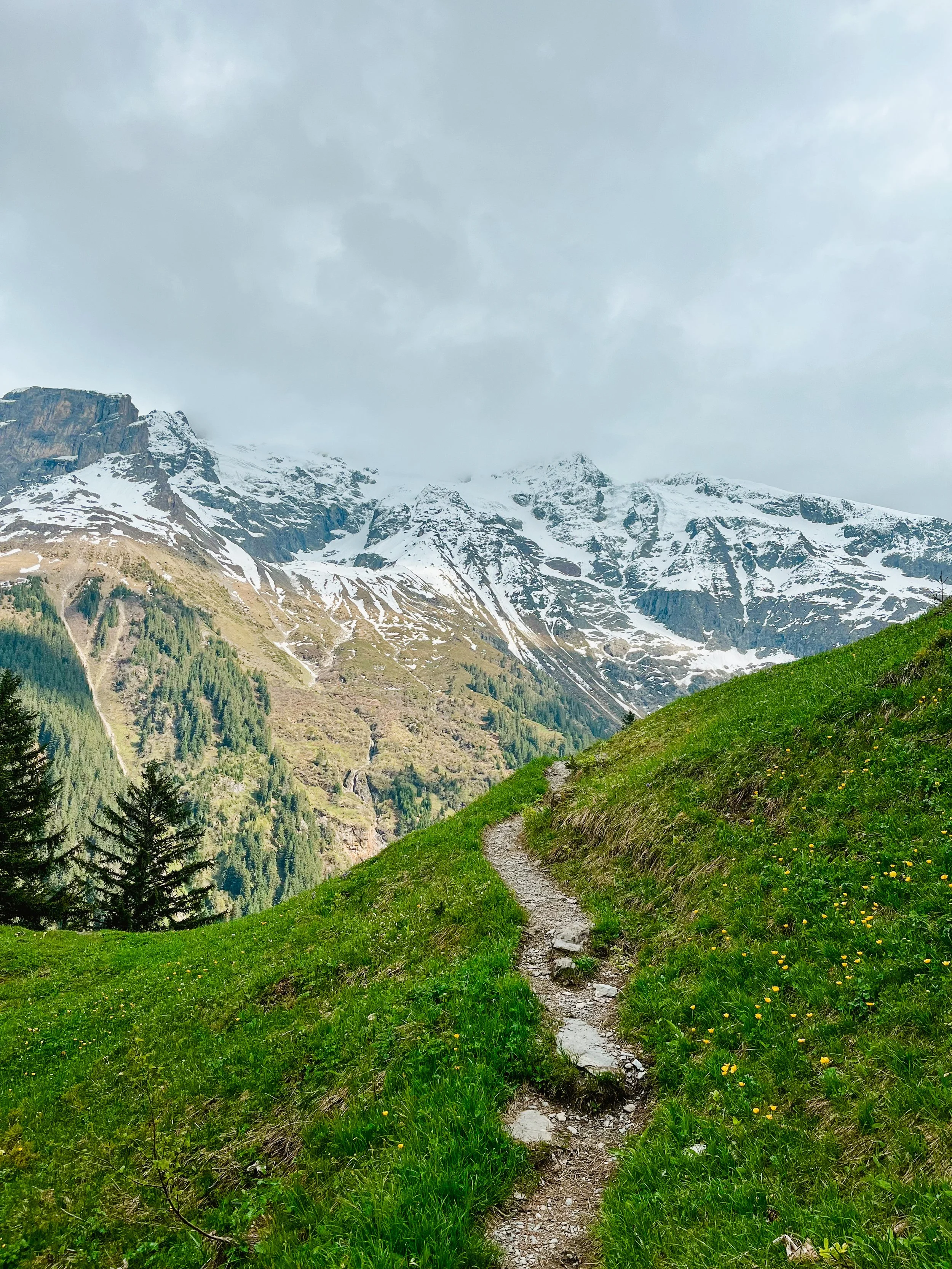
scenic “easy” trail with amazing views
A mellow trail with massive views. Perfect for a gentle adventure
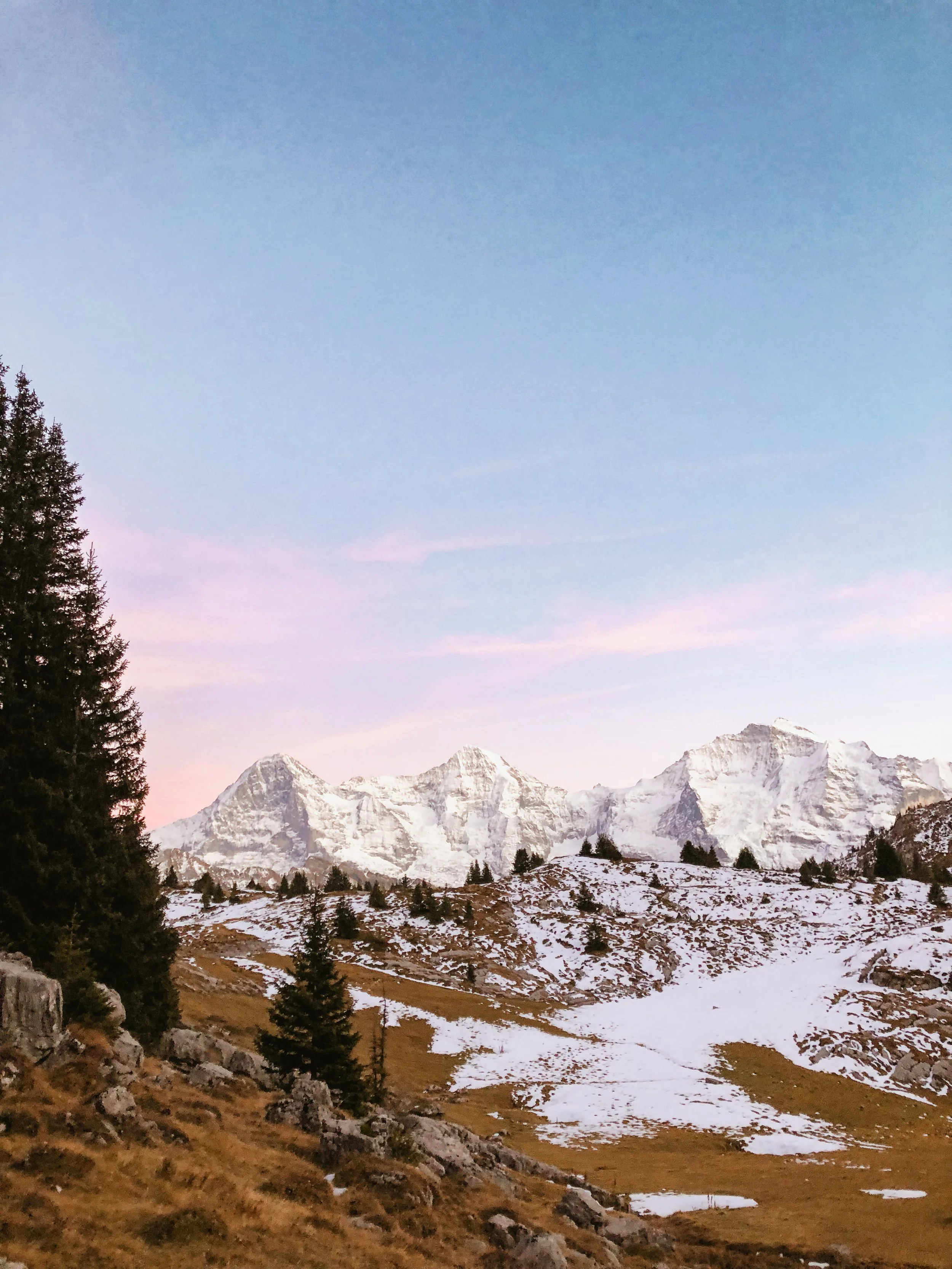
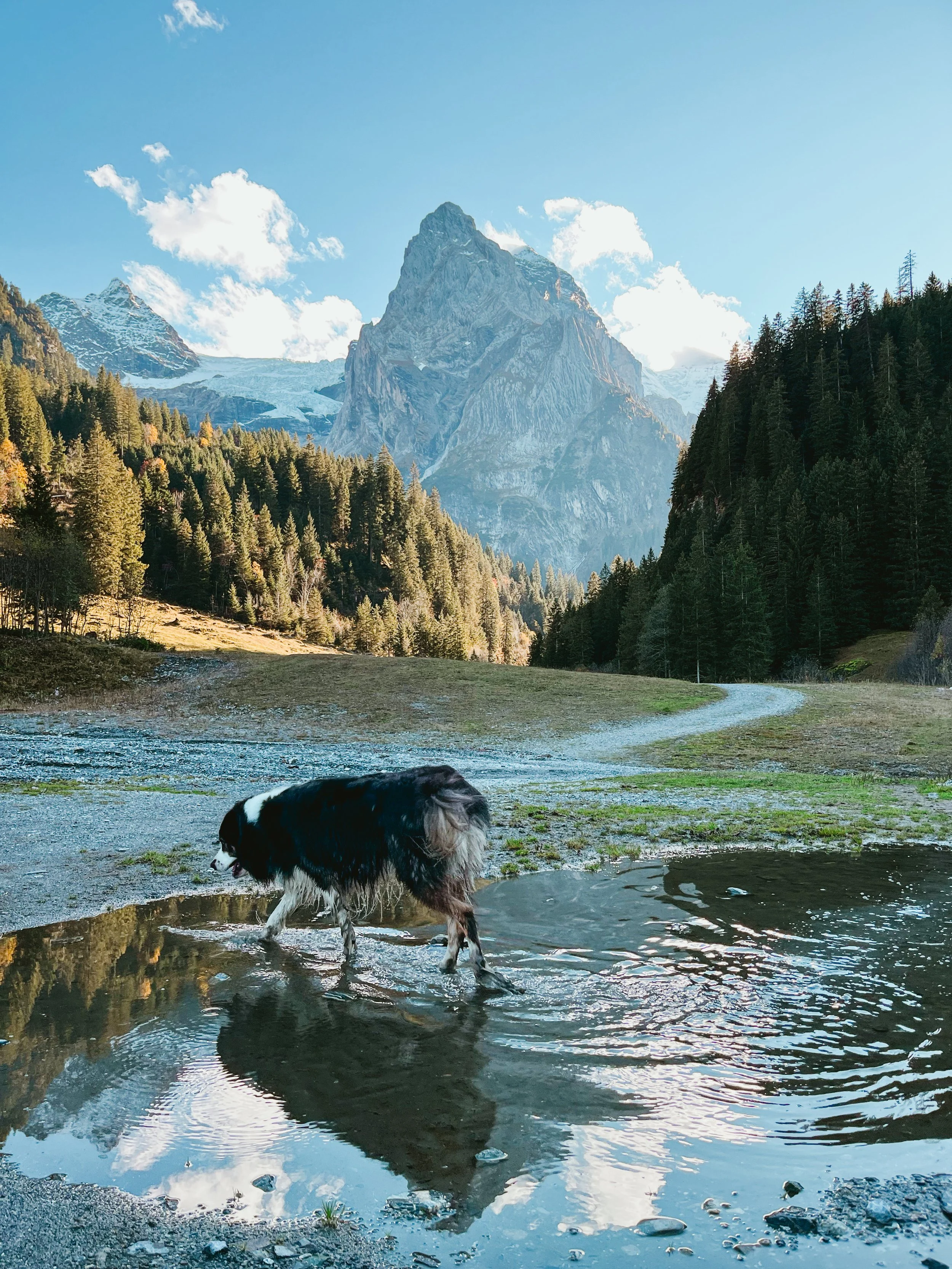
Highlights: beautiful view on the Eiger North Face, Mönch and Jungfrau, lots of marmots around the trail, beautiful lake view with Wetterhorn in the background
Difficulty: Easy walking on wider trail
Optional: Adding Männlichen peak
Duration: 2-3 h + travel time
Distance: 7-8 km / +15 m up
(with Männlichen peak +100m)
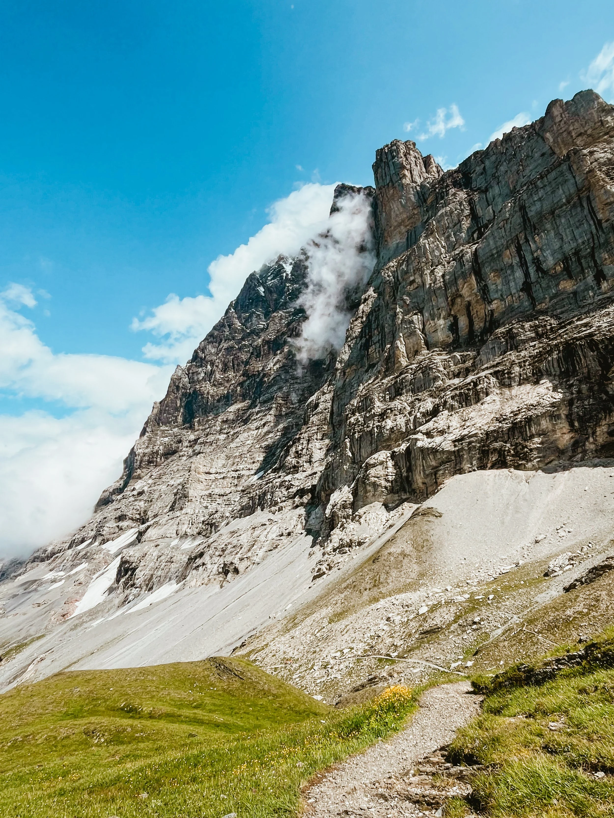

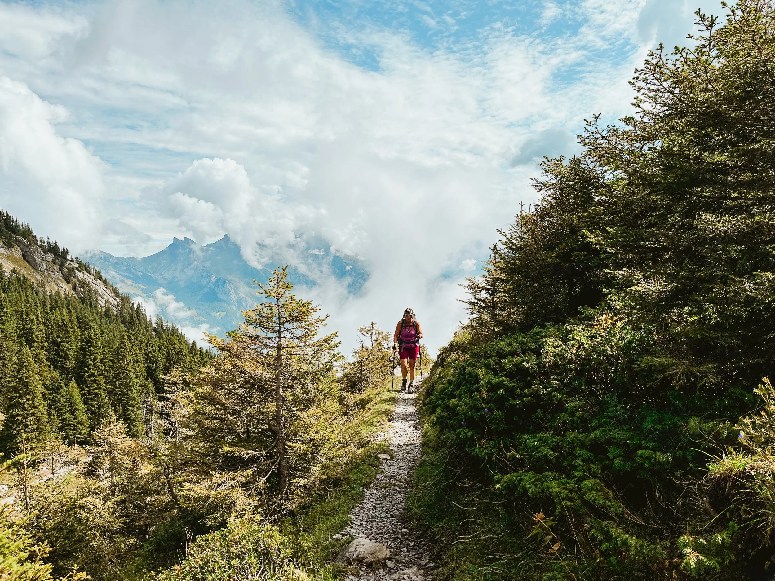
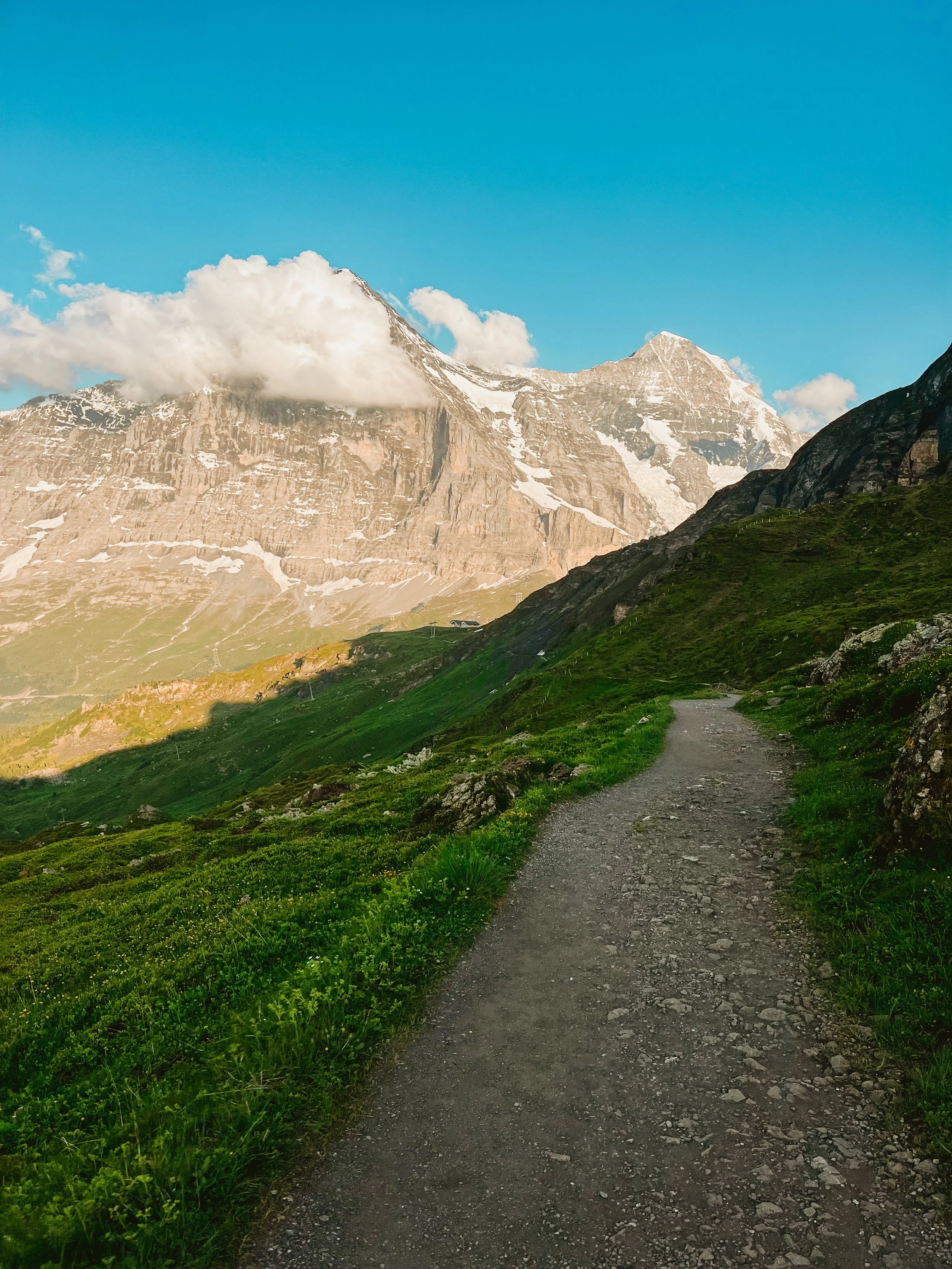
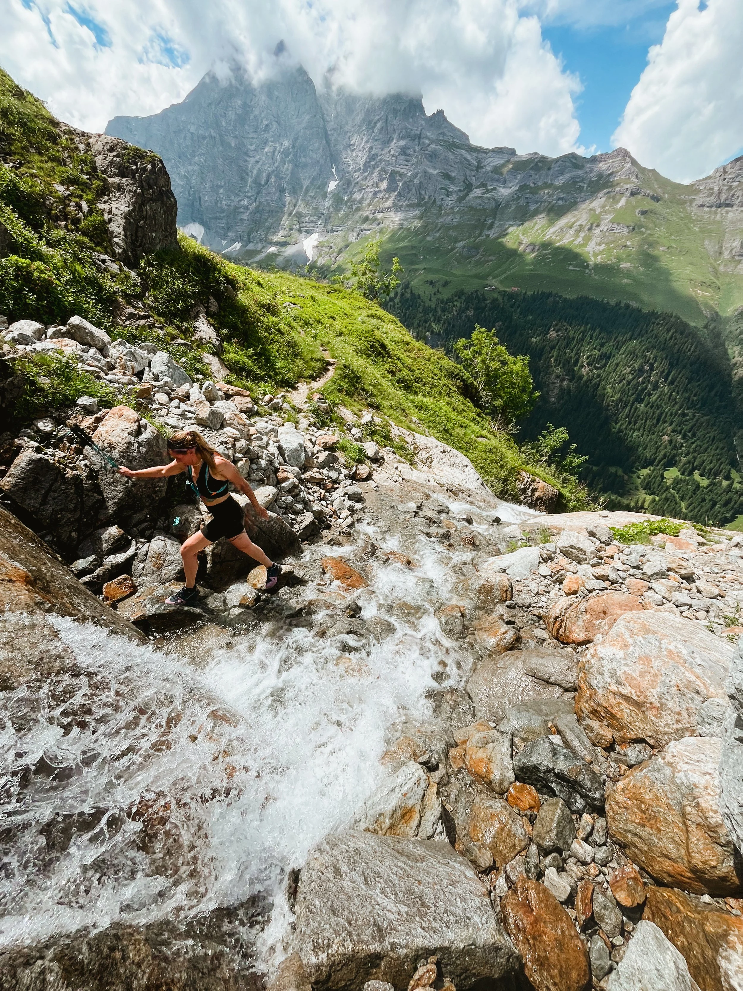
eiger trail
A stunning trail hugging the base of the legendary Eiger North Face, full of drama, wildflowers, and glacial energy
Highlights: Eiger North Face. From crossing many gorges to feeling absolutely taken away by the beautiful rock faces to cute little flower fields and cows.
Difficulty: Medium — narrow trail, rocky terrain, mostly downhill.
Optional: Start from Wengernalp for extra elevation.
Duration: 3 - 4 h + travel time
Distance: 6-8 km / +100 m
(+350 m from Wengernalp)
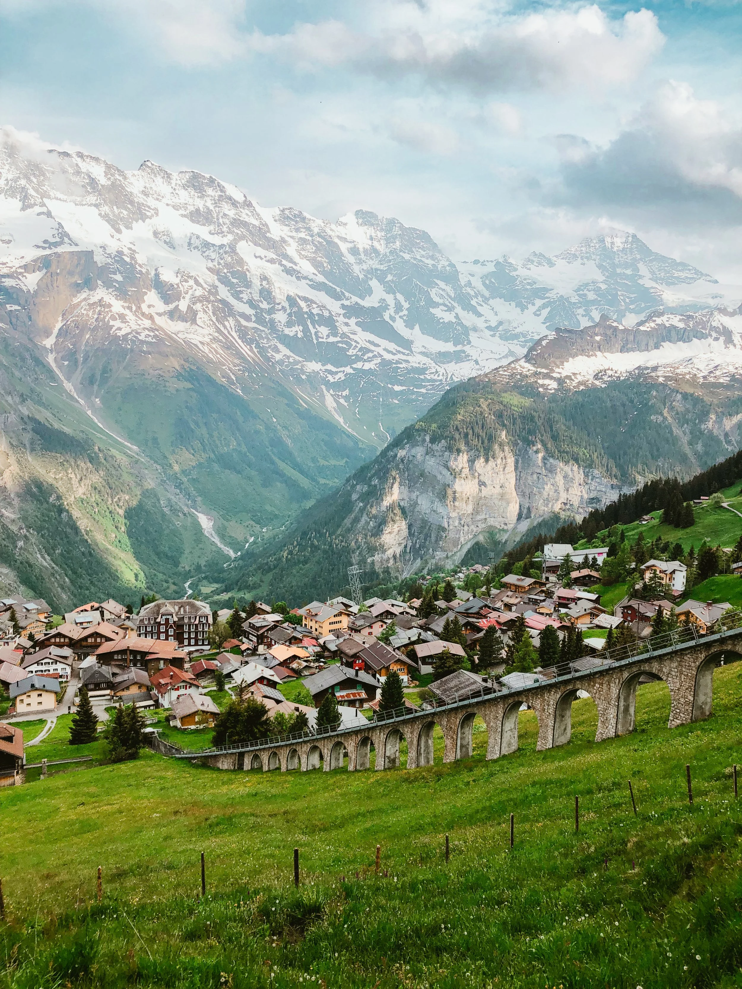
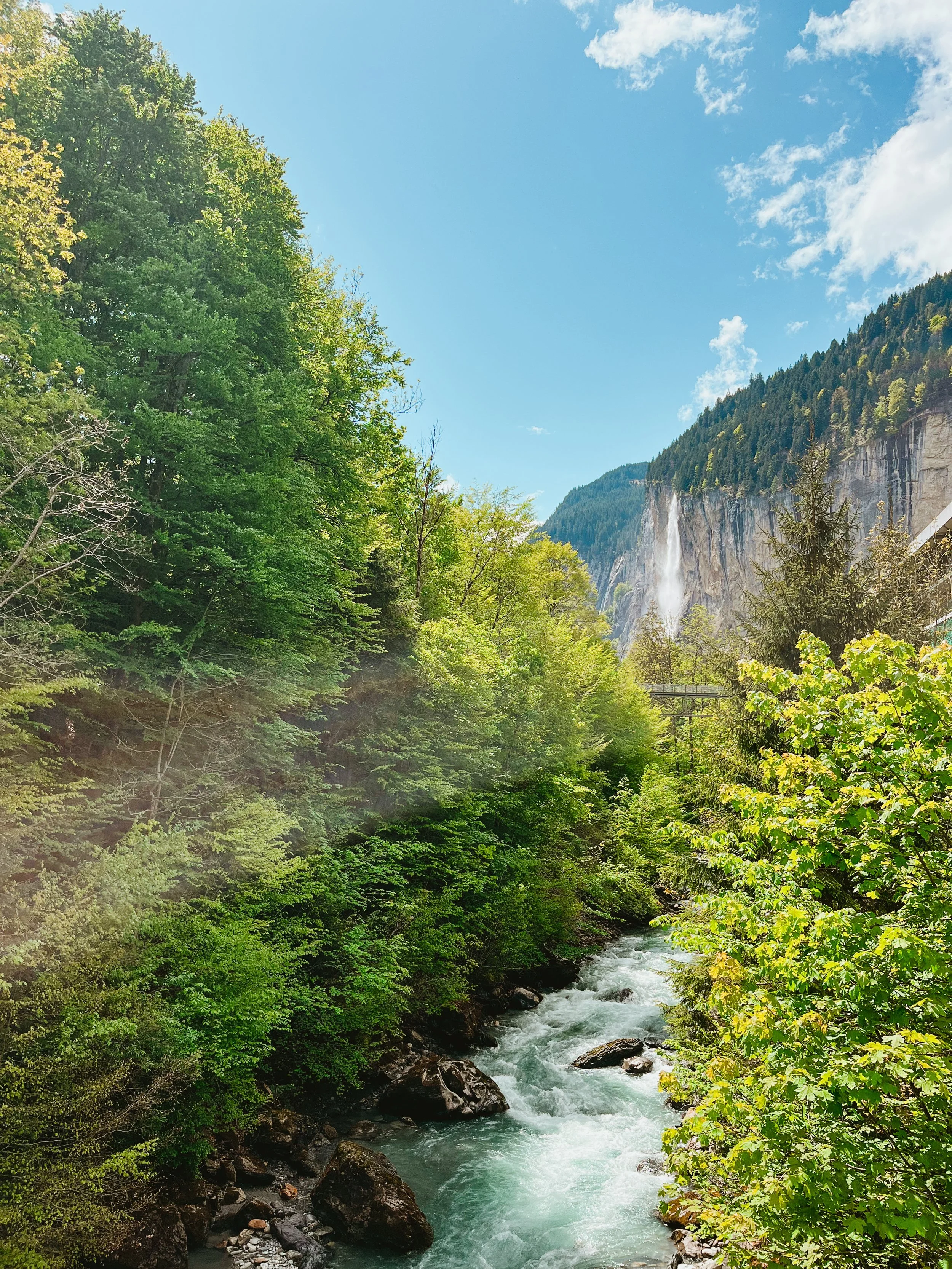
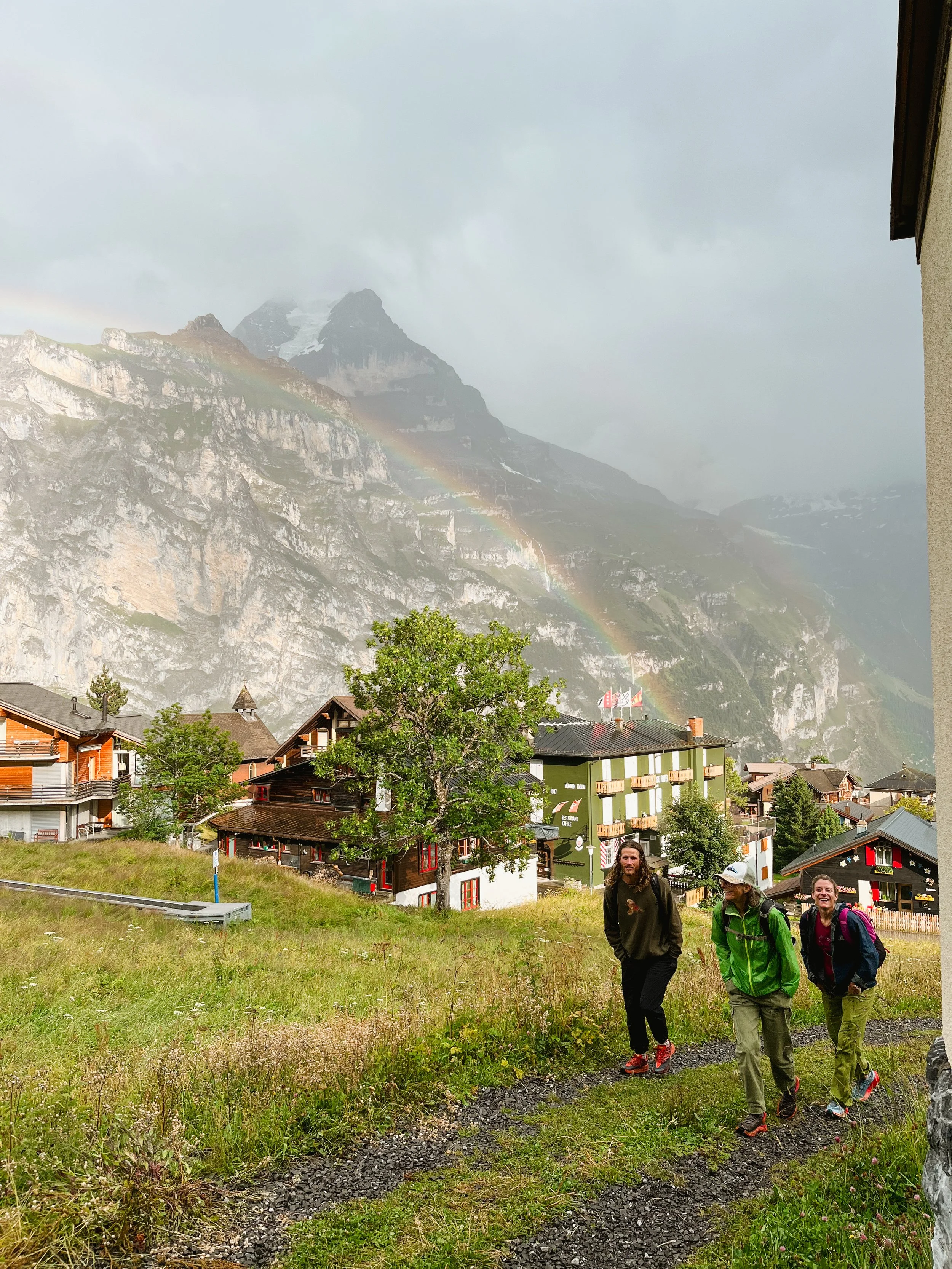
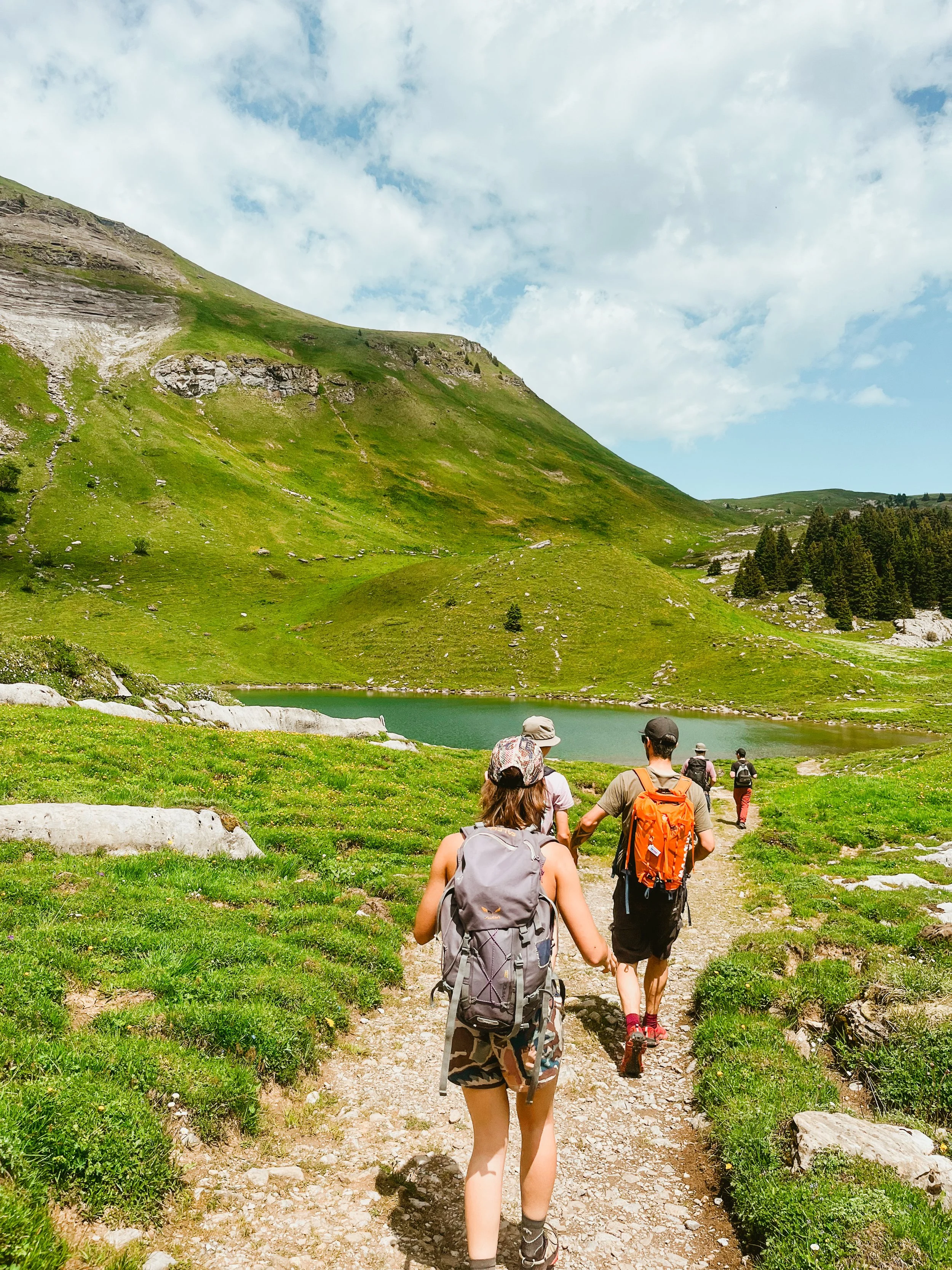
Lauterbrunnen + Mürren
Explore the beautiful waterfalls of Lauterbrunnen by foot, bus and with a visit to the famous Trümmelbach Falls. Then ride up to Mürren for a scenic village walk and a cozy café stop for a drink or snack.
Highlights: Waterfalls, scenic walks, the steepest cable car in the region, and breathtaking views of the Eiger, Mönch, and Jungfrau. Optional walk from Mürren to Winteregg or Grütschalp.
Optional: walk from Mürren to Winteregg or Grütschalp.
Difficulty: easy walking
Duration: 4 h

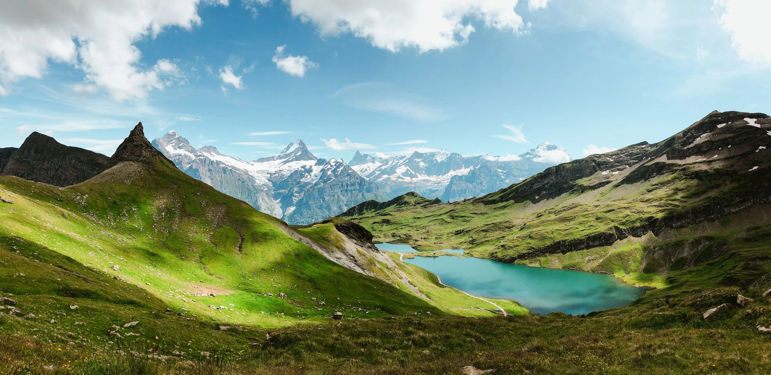
my favorite mürren loop
A gentle yet rewarding loop through forest, valleys, and wildflower-filled meadows.
Highlights: Beautiful views, Soustal valley, cute forests, flowers, birds and if we are lucky we will see squirrels, mountain goats, and of course cows!
Difficulty: medium difficulty, on narrower trail
Duration: 4 h
Distance: 10 km / +570 m uphill
full day hikes
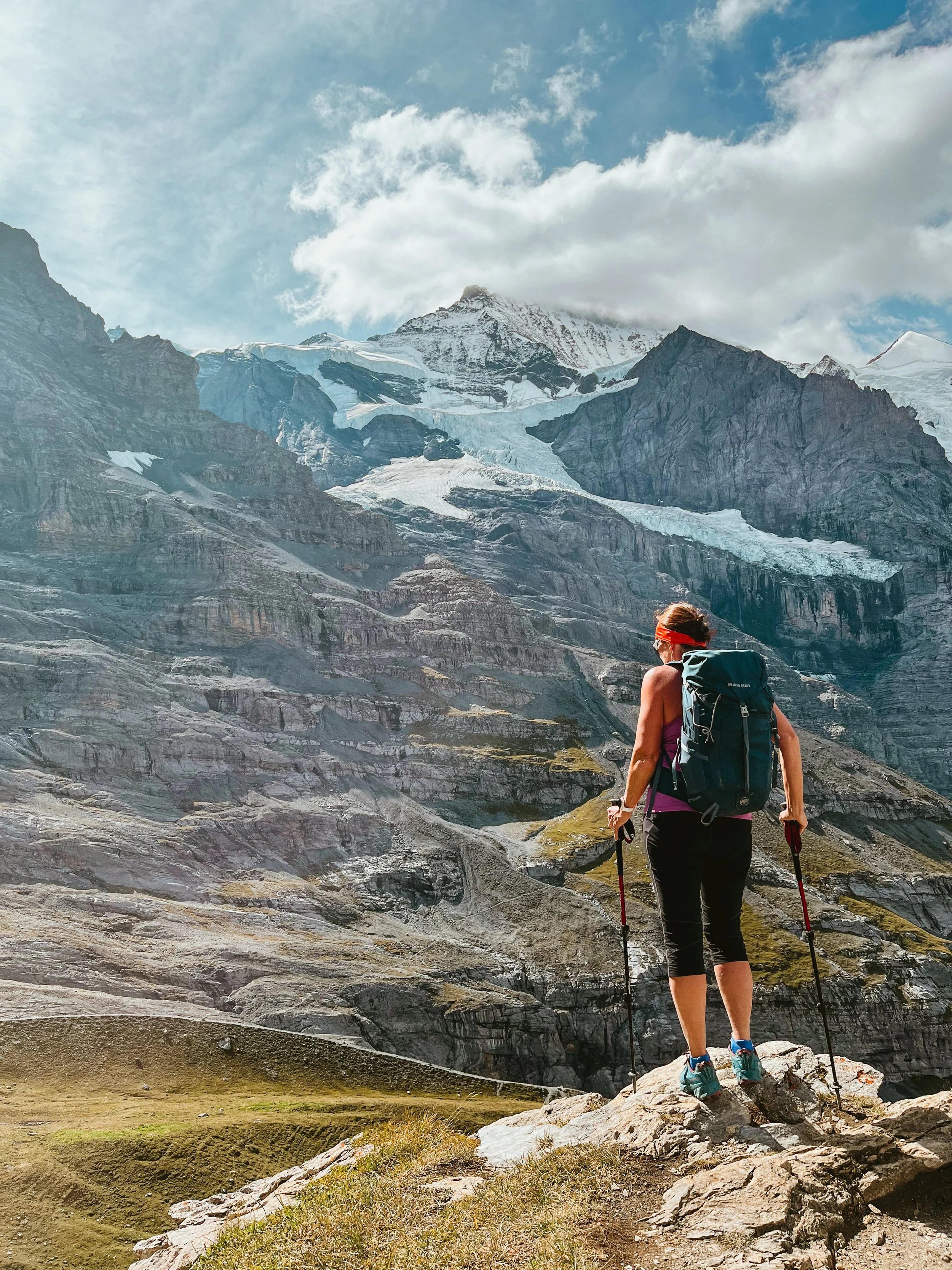

eiger trail extended
This is the loop I take my friends on if they only have one day in the mountains.
From lush green trails to rocky terrain, glacier views, and the legendary north faces of the Eiger, Mönch, and Jungfrau.
This hike offers it all.
Difficulty: Medium — narrow trails, rocky terrain, and some steeper steps.
Duration: 7 h
Distance: 18 km / +1200 m
(Shortcut: 15 km / +600 m if starting at Wengernalp)
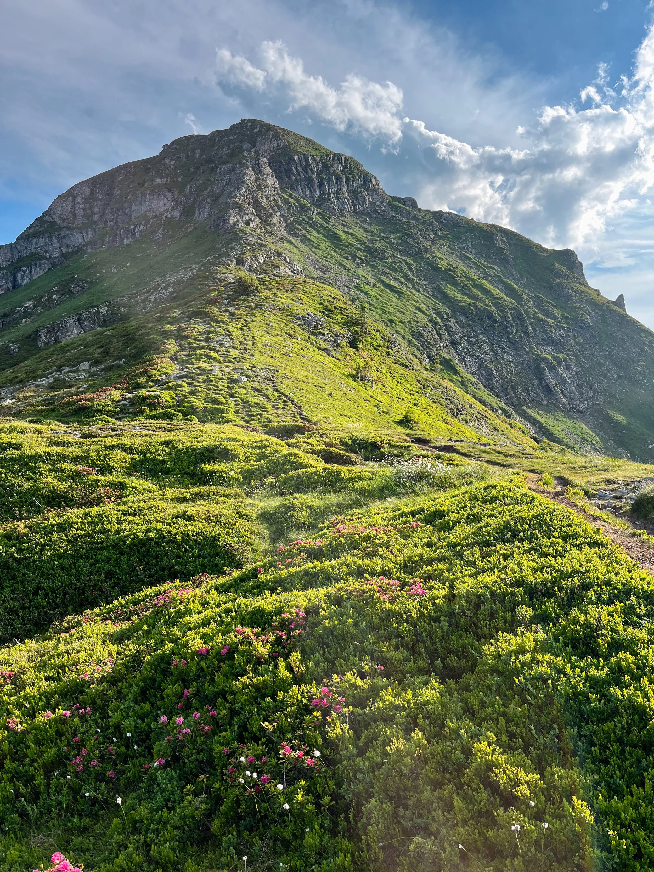
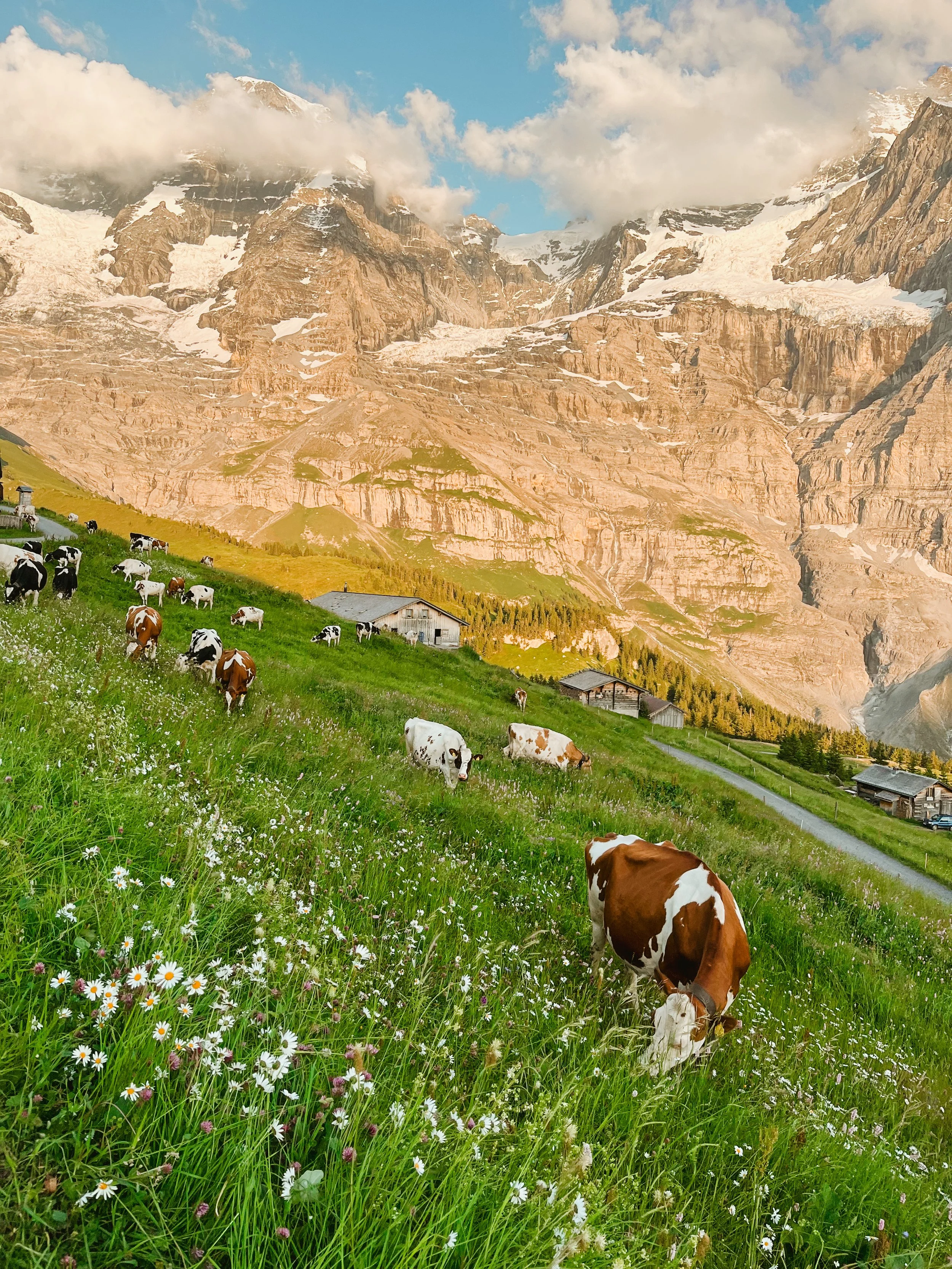
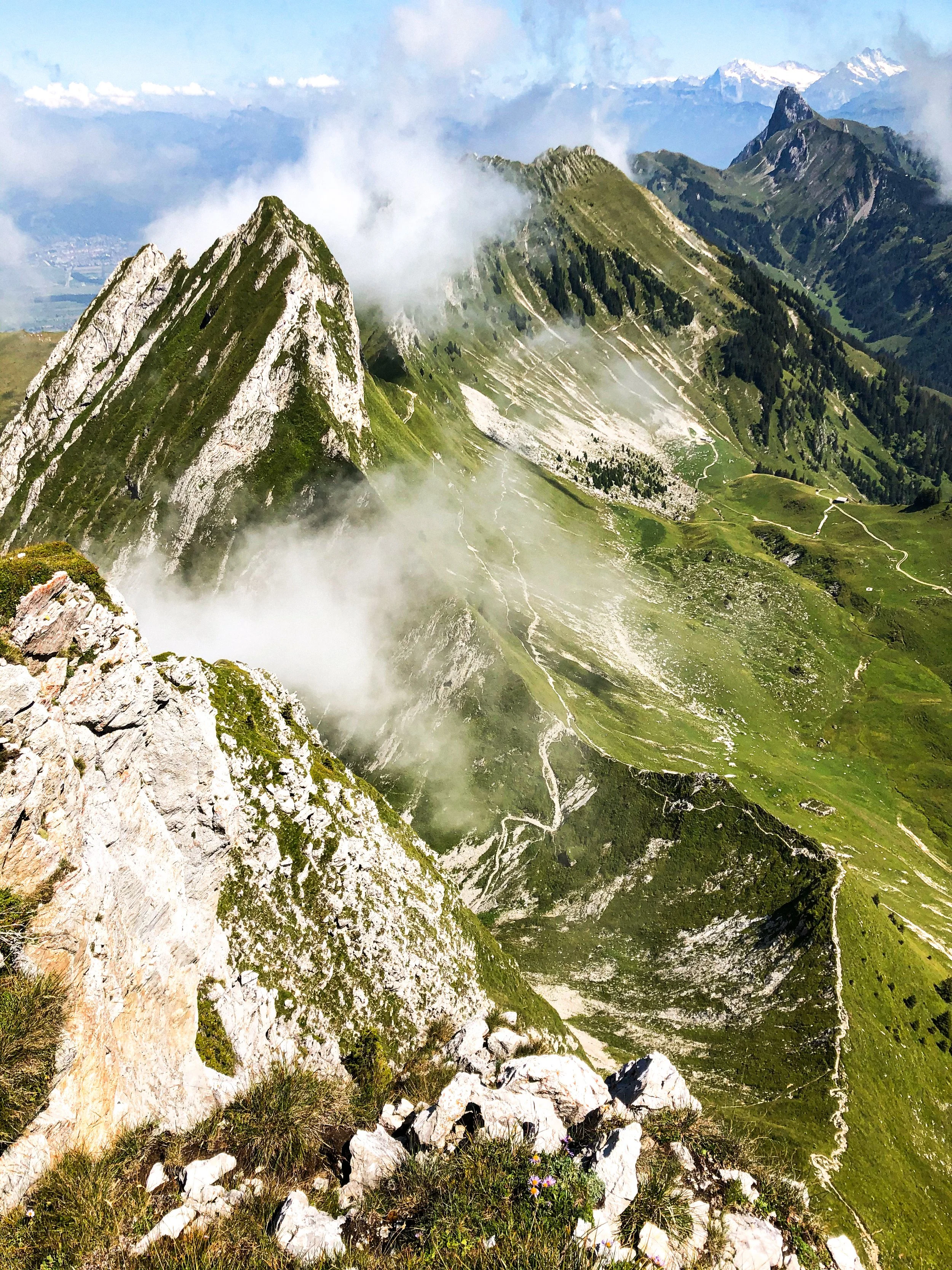
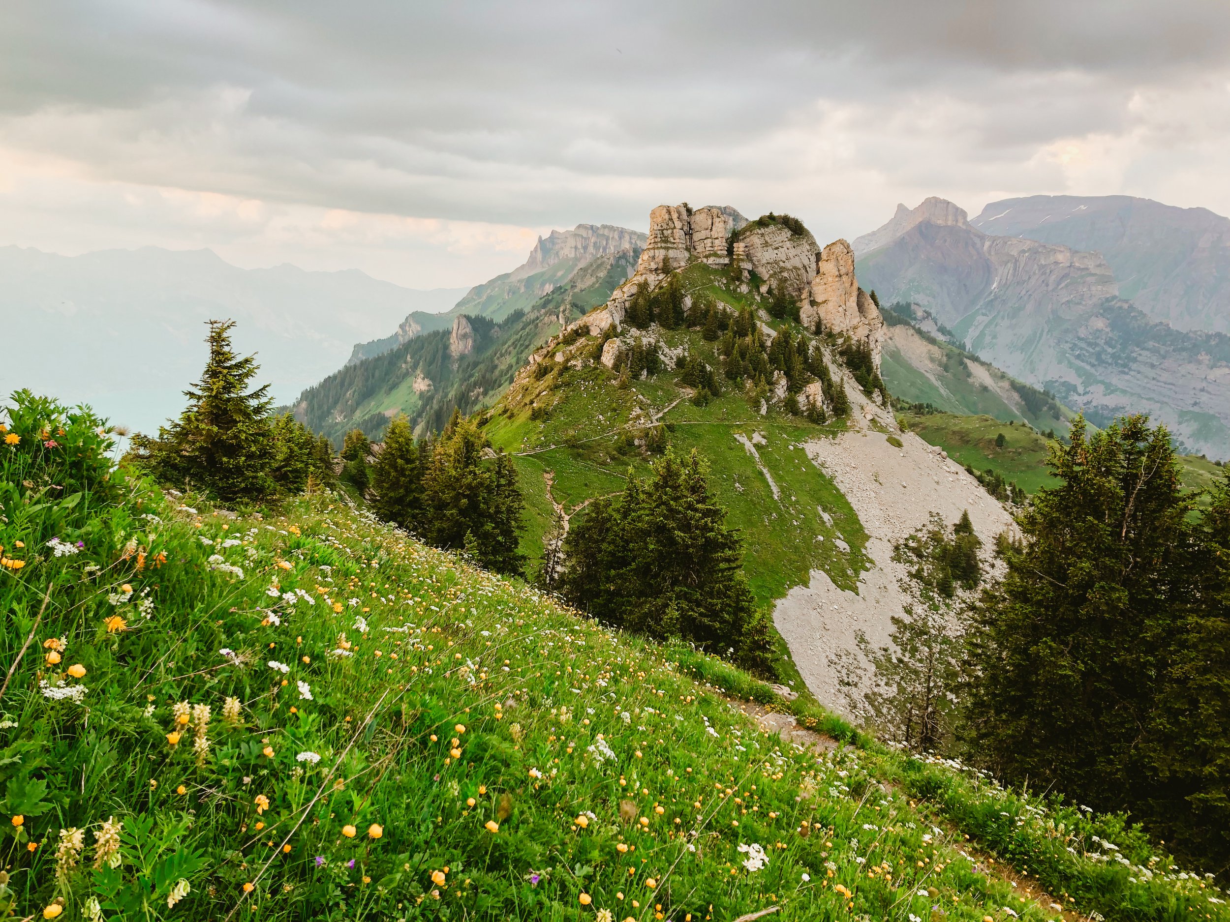
waldegg - niederhorn loop
One of my favorite loops in the area. This trail leads through breathtaking terrain, dramatic rock formations, blooming alpine bushes, wide-open views of the big mountains, and countless mountain goat encounters.
Difficulty: Medium — narrow trails, steeper sections, and rocky paths.
Duration: 7 h (varies with fitness level)
Distance: 16 km / +1000 m
tanzbödeli loop
Another favorite loop! And this one is truly special.
Magnificent views of the big mountains, blooming alpine flowers all around, and peaceful forest paths, with the chance to cool off in a mountain lake.
Difficulty: A more challenging hike — good physical fitness is required.
Distance: 16–17 km / +1300 m
Duration: Around 7 hours (depending on fitness level)
Gantrisch - stockhorn
A trail that feels like walking through an alpine fairytale. Peaceful passes, sparkling lakes, quiet farms, cows, and ever-changing views all the way to the Jungfrau Region.
We’ll wander along open ridgelines in the Gantrisch area, with the chance to taste local cheese from traditional mountain farms. And if the weather is nice, we can also take a refreshing dip in a crystal-clear alpine lakes!
At the end, you can ride the cable car down or continue the adventure along a quiet lakeside trail.
Difficulty: Easy hike, with a few steeper rocky steps
Distance: 16 km, + 1100 m
Duration: 4 - 5 h

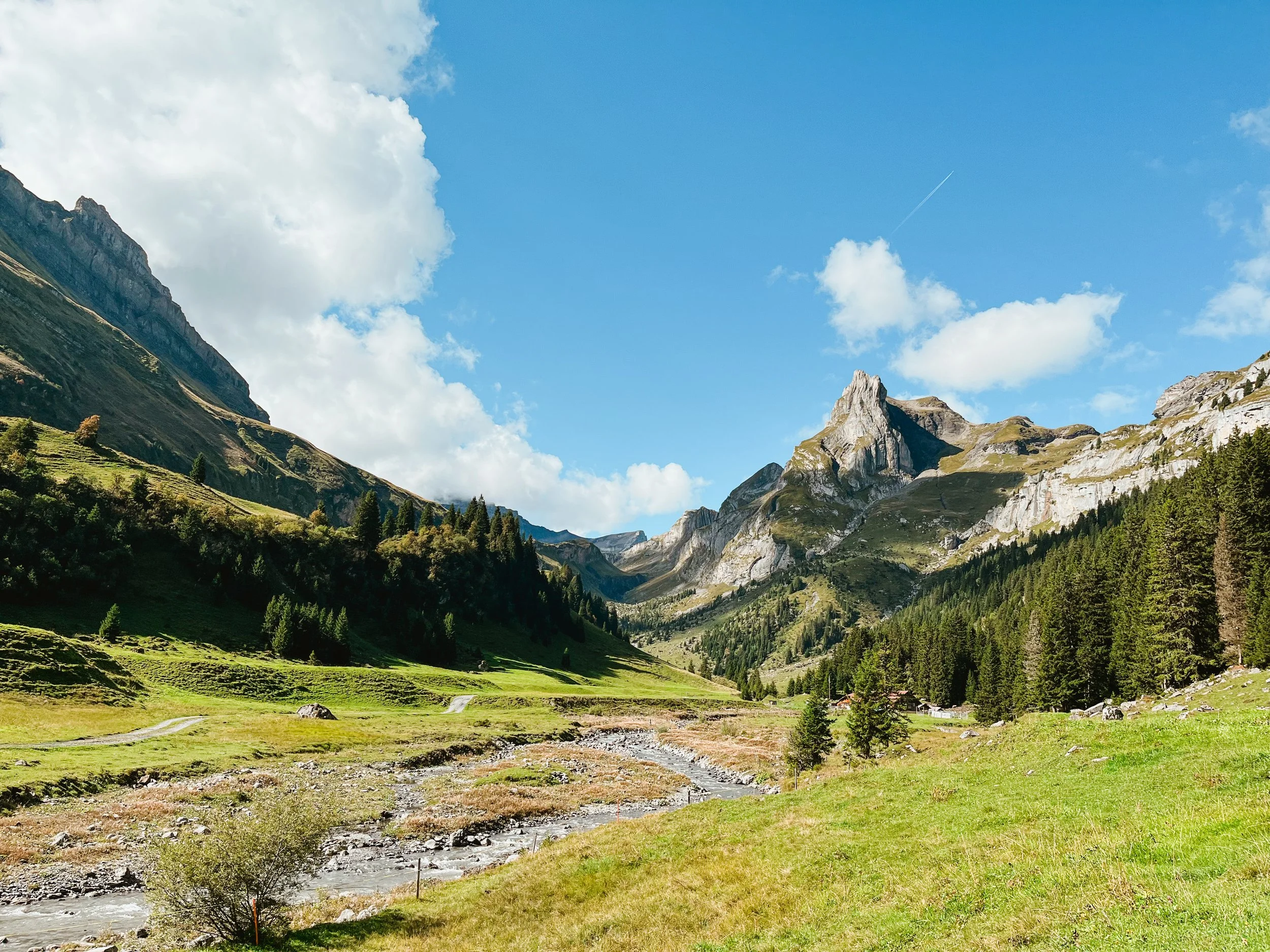
soustal to saxeten
One of my absolute favorite hikes a quiet, soul soothing traverse through one of the region’s most beautiful rarely visited corners.
We begin at Grütschalp and head into the peaceful, forgotten-feeling Soustal valley. From there, we climb gently through wildflower pastures and traverse above the valley to reach the cozy Löbhornhütte perfect for a break, a slice of cake, or even a refreshing swim. The journey continues over Bällehöchst, before descending into the sleepy, storybook village of Saxeten. This trail has it all, views of the big peaks, flower-filled fields, peaceful forests, cows, and a rare sense of solitude and flow.
Difficulty: Easy to medium
Distance: 17 km, + 900 m
Duration: 7 h (depending on the fitness level)
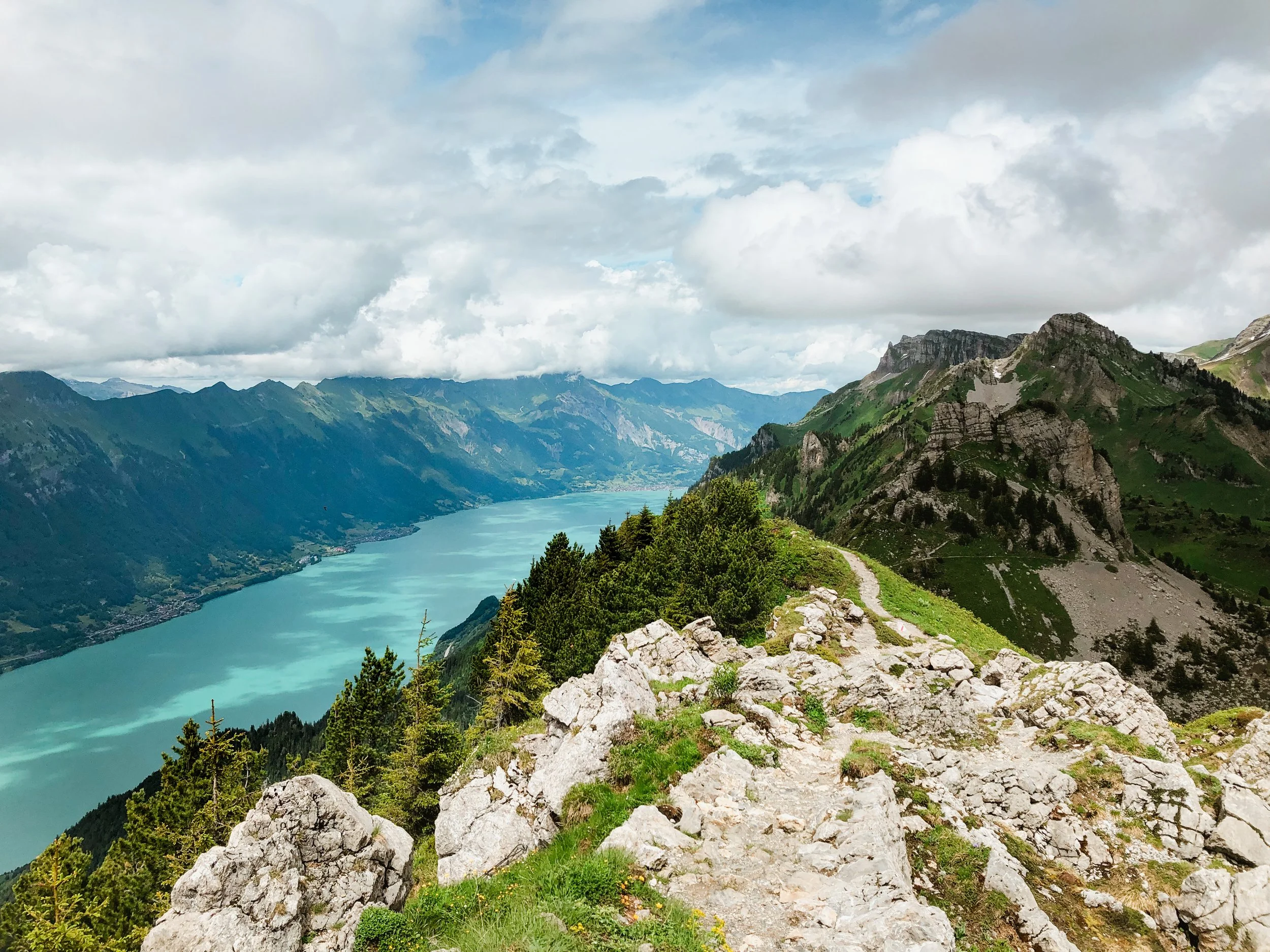
Schynige platte to first
Another breathtaking trail that shows you everything the Berner Oberland has to offer! Panoramic views, rolling meadows, dramatic peaks, and a sparkling alpine lake
We’ll hike from a historic mountain station along peaceful trails above Lake Brienz, with views of the Eiger, Mönch, and Jungfrau nearly the whole way. Marmots, alpine flowers, and maybe a stop at a charming old mountain hut make it even sweeter.
Difficulty: Easy to medium — steady uphill, some rocky or uneven terrain.
Distance: From Schynige Platte: 17 km / +900 m
From Breitlauenen: 19 km / +1400 m
Duration: 6–7 h (depending on pace and breaks)
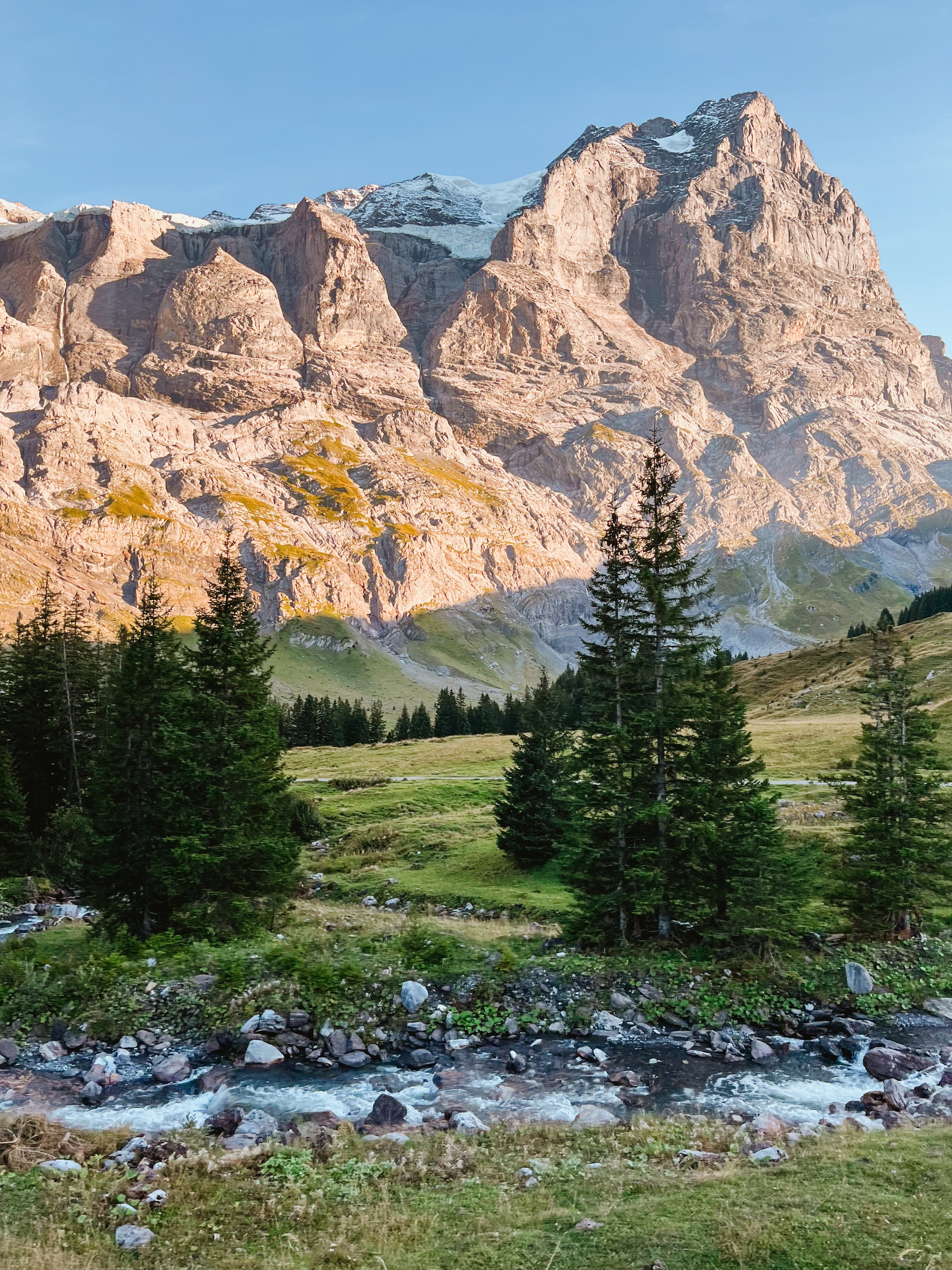
Rosenlaui - Grosse Scheidegg - Grindelwald
(or vice versa)
This place will take your breath away, and not just from the uphill! The dramatic peaks, peaceful meadows, and wild alpine atmosphere make it feel almost unreal. Every time I visit, I can't believe this place exists.
Difficulty: Easy hiking
Distance: 12 km / + 800 m
Duration: 6-7 h (depending on pace, direction, and breaks)
saastal valley
Let me take you to one of my favorite places a region I lovingly call my second home
The mountains, the views, the peaceful trails, and the warm local vibe make it a truly special spot
I’d be more than happy to show you around whether it’s a short loop through wildflower meadows or a longer traverse with breathtaking glacier views, there’s something magical here for every mountain lover.
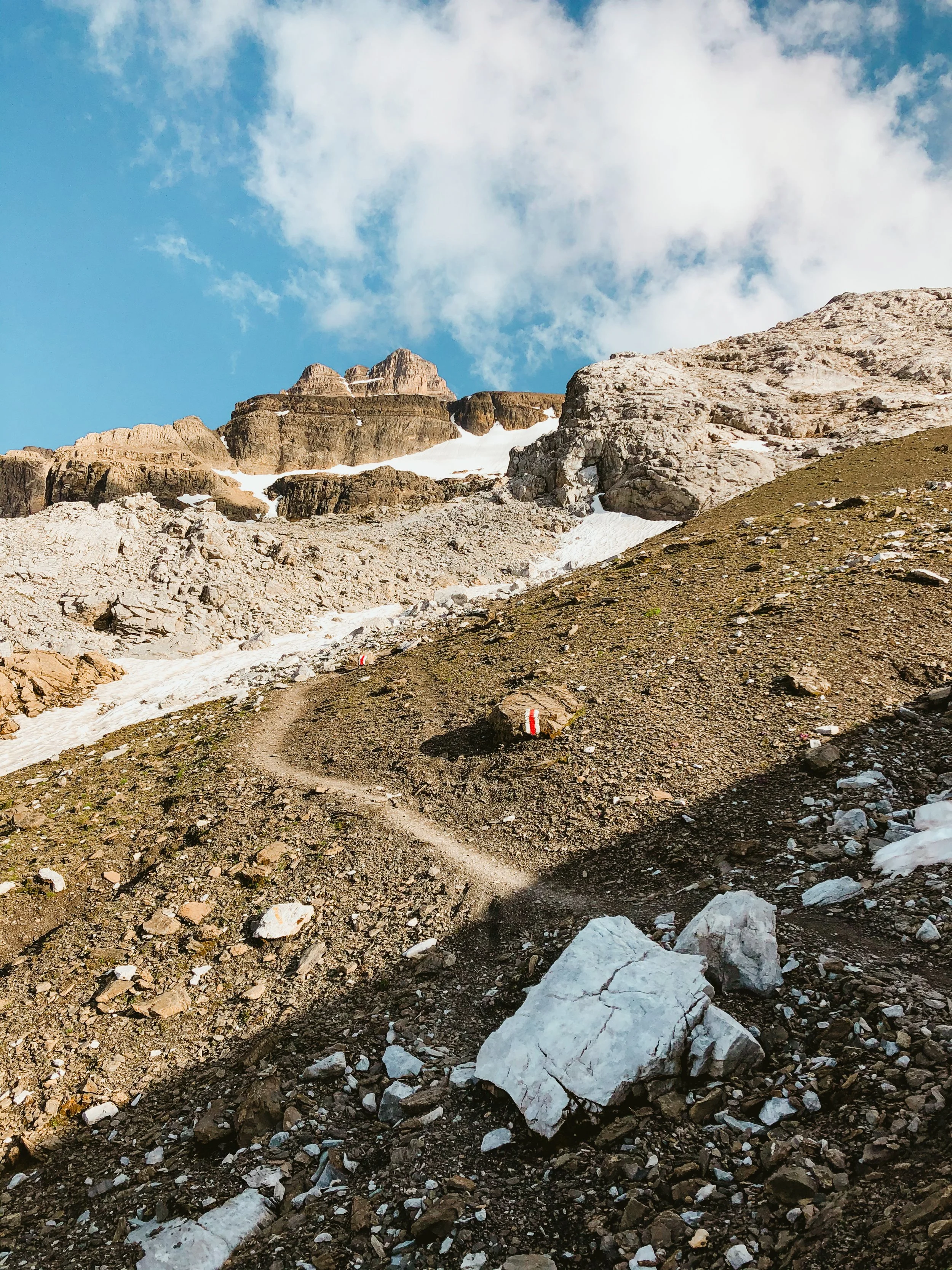
hike to a hut
Schmadrihütte AACB
A wild and dramatic hike deep into one of the most beautiful valleys of the region and still wonderfully quiet.
We start in Stechelberg (or Gimmelwald) and walk up through peaceful forest trails toward the Hotel Obersteinberg, continuing past very cold mountain lake, and over moraines to the start of the steep hike up to the hut.
The descent takes us along a different path under waterfalls, past glacial moraines, and back into the valley. It’s a real alpine adventure, with everything from flowers and cows to roaring water and ice.
Distance: 16/20 km (+ 1300 m /1600 m)
Difficulty: Medium to challenging (depending on pace and terrain conditions)
Duration: 6–7 h
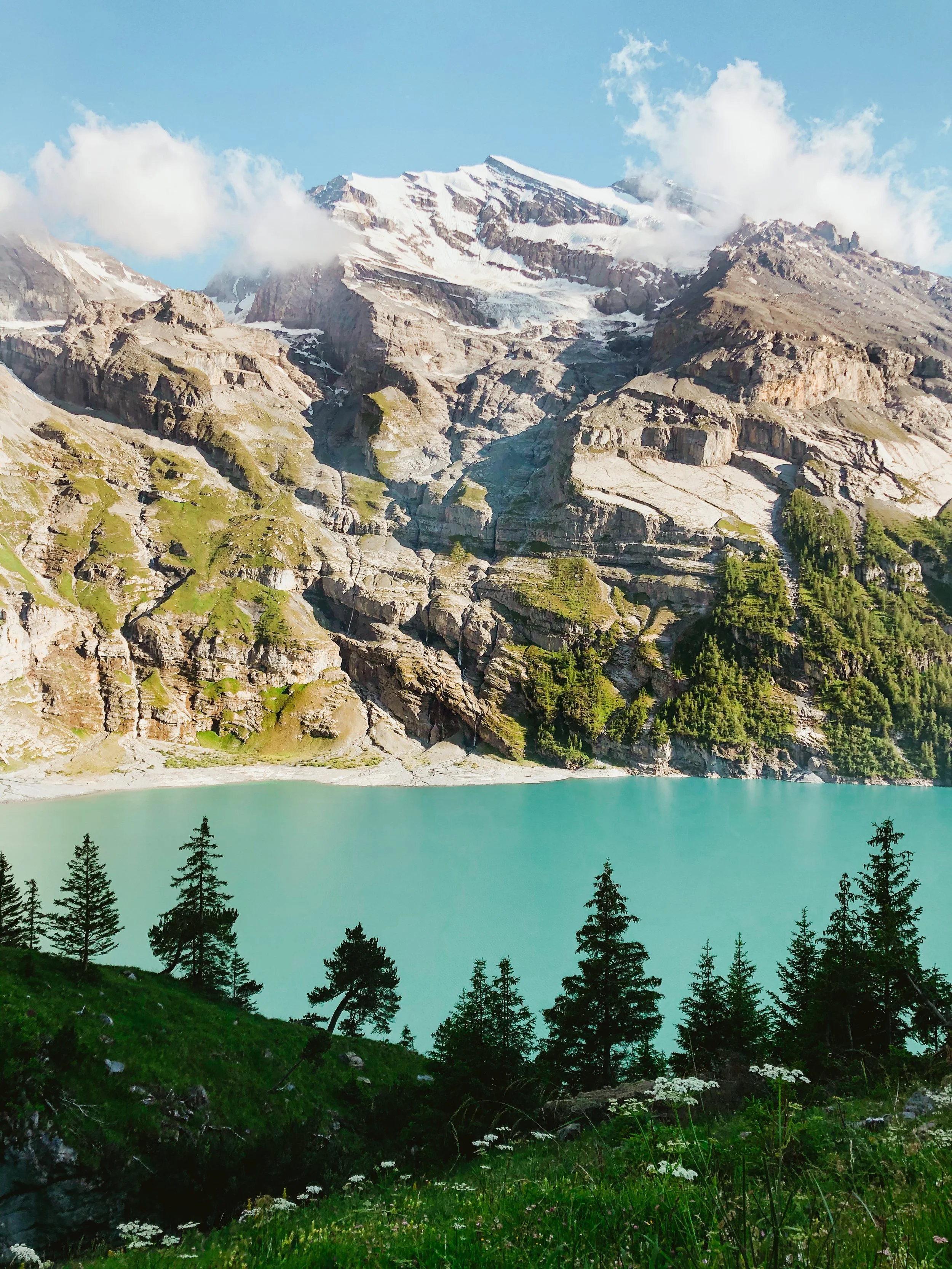
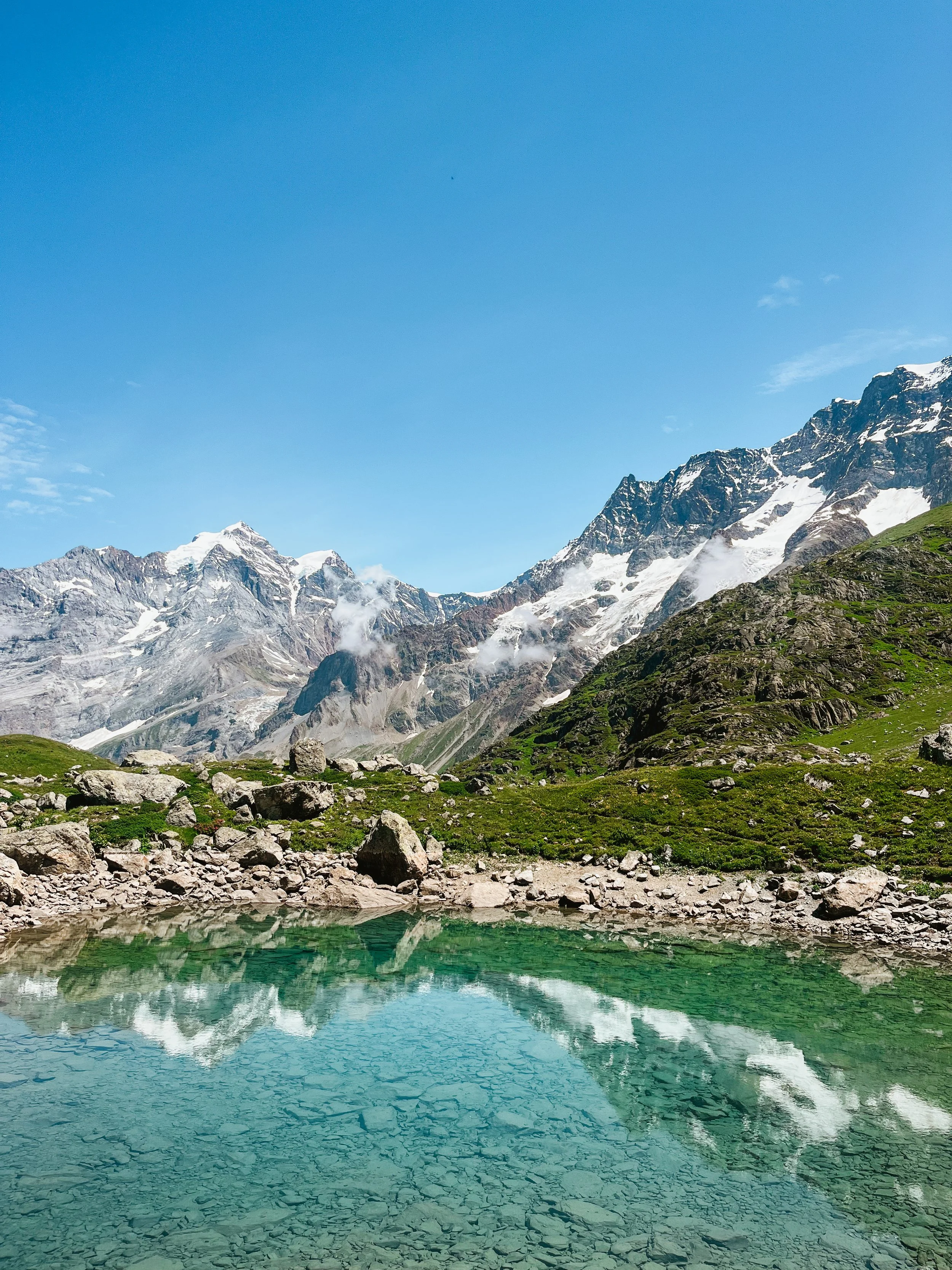
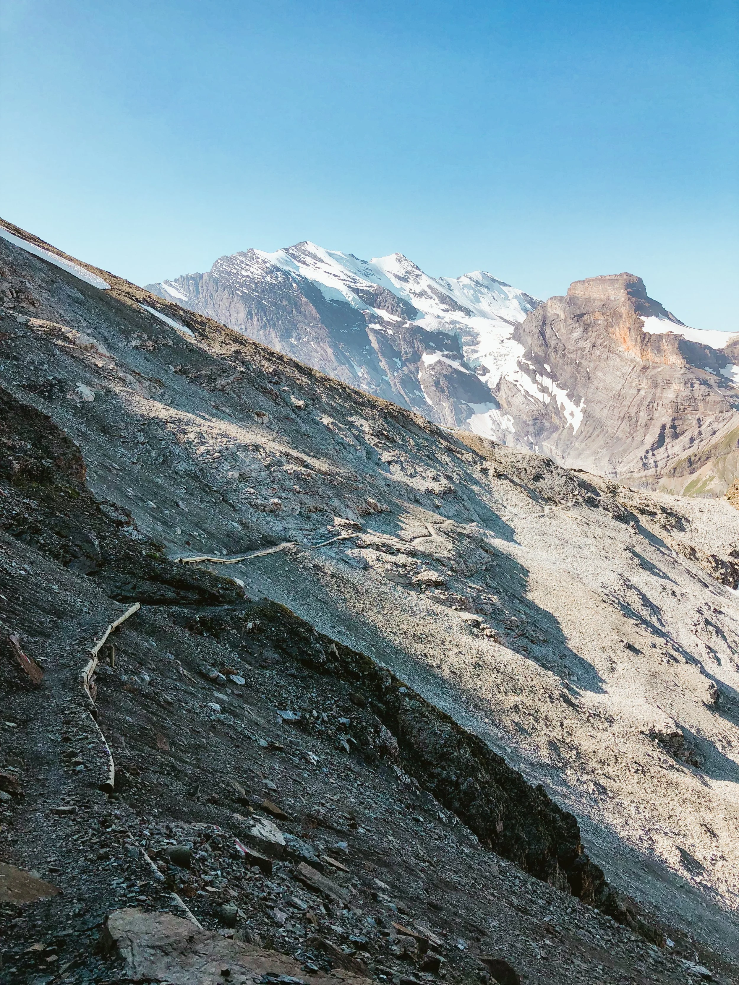
Blüemlisalphütte SAC
One of the most stunning high-alpine traverses in the Bernese Alps from wild valleys to glaciers and turquoise lakes.
We start in Griesalp and climb up toward the Hohtürli Pass, reaching the spectacularly located Blüemlisalphütte SAC, perched just beneath the mighty Blüemlisalp massive. After a break at the hut (with hot chocolate or some tasty snack), we descend along dramatic rocky paths and into the dreamlike world of Oeschinensee one of the most beautiful mountain lakes in Switzerland.
Distance: 15 km / +1 500 m
Difficulty: Challenging
Duration: 6–7 h
Gspaltenhornhütte SAC
Yes… I know I keep saying it, but this really is one of my favorite places!
This beautiful traverse begins in Mürren, with flower-filled alpine trails and sweeping views of the Eiger, Mönch, and Jungfrau. We follow peaceful paths toward the Gspaltenhornhütte, nestled beneath the striking face of the Blüemlisalp massif, before descending into the quiet, fairytale-like Kiental valley, finishing near Griesalp.
From panoramic ridgelines to glacier views, from hidden huts to one of the cutest valleys in the Alps — this adventure has it all.
Distance: 20 km, + 1250 m
Difficulty: Medium
Duration: 5 - 6 h

Lobhornhütte
A cute little hike with everything you could wish for: peaceful forests, wildflowers, Swiss cows, a mountain lake, and stunning views over the Lauterbrunnen Valley.
We start from Grütschalp, wander through the quiet and underrated Soustal, and reach the charming Lobhornhütte, perched on a natural balcony with views stretching to the Eiger, Mönch, and Jungfrau. After a cozy hut stop (maybe even cake?), we descend to the peaceful mountain village of Isenfluh.
It’s the kind of trail that makes your heart slow down, simple, beautiful, and full of joy.
Distance: 10 k, + 650 m
Difficulty: Easy hike
Duration: 3 - 4h (depending on stops, and if we swim in the lake)
PRICES
-
1-2 persons: 300 CHF (private group)
3-5 persons: 90 CHF pro person
5-8 persons: 80 CHF pro person -
1-2 persons: 480 CHF (private group)
3-5 persons: 120 CHF pro person
6-8 persons: 100 CHF pro person -
3 - 4 h hikes:
1-2 persons: 300 CHF (private group)
3-5 persons: 90 CHF pro person
5-8 persons: 80 CHF pro person5 - 8 h hikes:
1-2 persons: 480 CHF (private group)
3-5 persons: 120 CHF pro person
6-8 persons: 100 CHF pro person
-
Experienced hiking guide
Beautiful photos of your adventure (taken by me! Like the ones you can see on my webpage)
-
Transportation to/from the meeting point
Snacks, drinks, or meals
Personal hiking gear (shoes, clothes, backpack, etc.)
Accident, rescue, or travel insurance - please make sure you are personally covered in case of injury, illness, or emergency.
what to bring
recommended:
shoes with good grip (trail running shoes are great, no need for heavy boots)
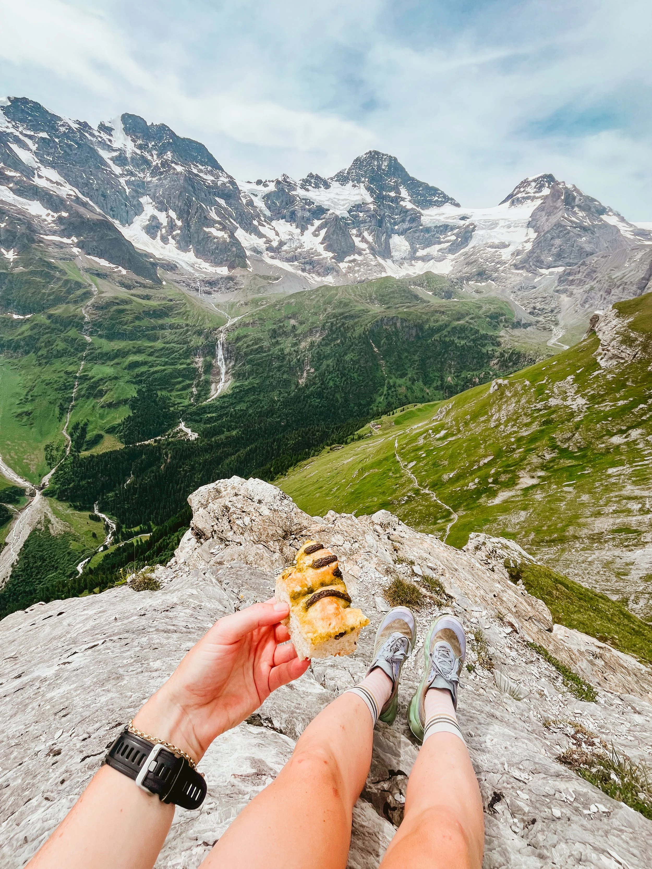
snacks and water (very important! I recommend getting a pastry from Roger’s Bakery in Wilderswil)
wind or rain jacket
an extra dry shirt or base layer
neck warmer (Buff)
light gloves
hiking poles (especially helpful for downhill)
a small backpack (20–25L)
water bottle or hydration system (at least 1–1.5 L)
sunscreen and sunglasses
cap or sun hat
optional but nice to have:
swimsuit and small towel (there is a high chance we might end up in the water)
camera or phone with space for photos
a little cash (for a drink at a mountain hut or bakery stop)
train/transport ticket if needed (I can help you sort this out)
any personal medication (like antihistamines or inhaler if you need one)
You don’t need to bring a first aid kit or emergency blanket. I’ve got those covered for you!